Hello from Kangerlussuaq! Waking up at 7, with the morning light glowing in around all the edges of the curtains, we were sure that when throwing back the curtains we would see the sunrise over the runway. But it was dark….like pitch dark! Oh wait, that light around the curtain was a large airport light outside our window.
One plus to staying at the airport, well “in” the airport, is that you can check your luggage in at 9 am for a 5 pm flight. No loading bags on the bus, no keeping track of bags. Kinda nice!
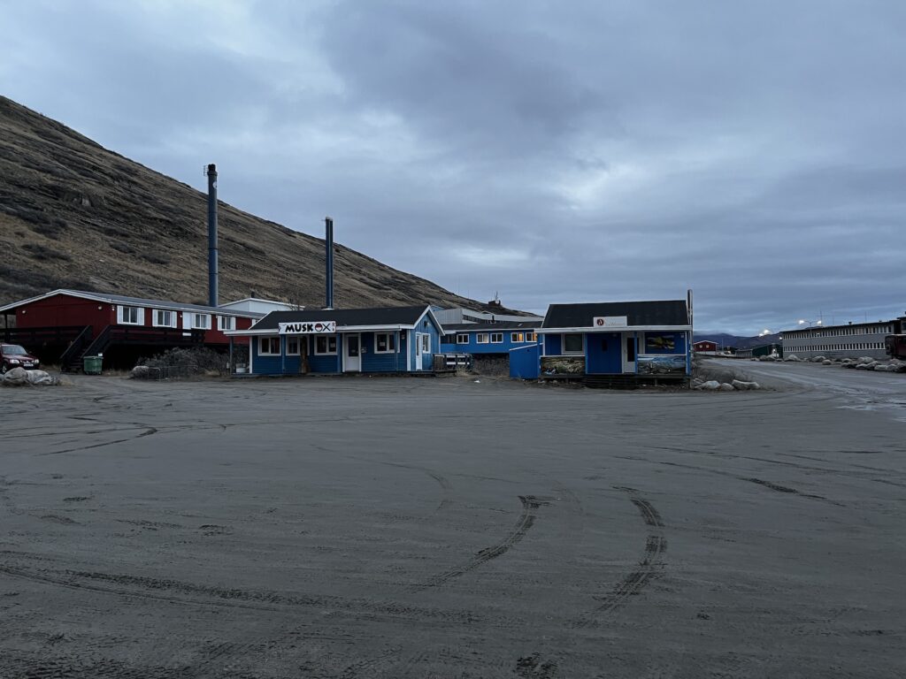
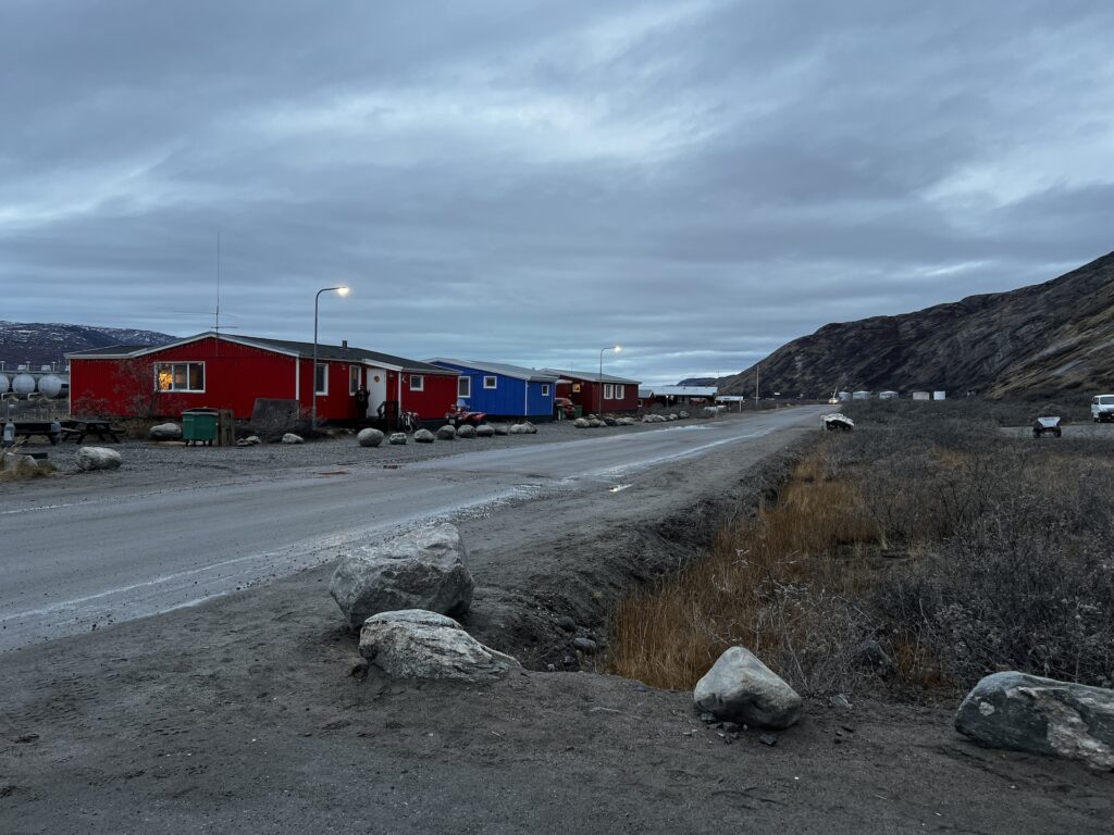
After breakfast we visited the local grocery store, which was impressively well stocked considering the size of the village, as we needed some drinks for today’s excursion. We are heading to the Arctic Ice Cap, which covers 90% of Greenland. Some quick shots of the village:
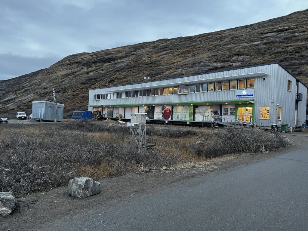
And this is the store:
We hopped on the Arctic Bus, a huge people carrier, and headed out. (Yes, the same off-road bus we showed yesterday, albeit a different bus and a different driver.)
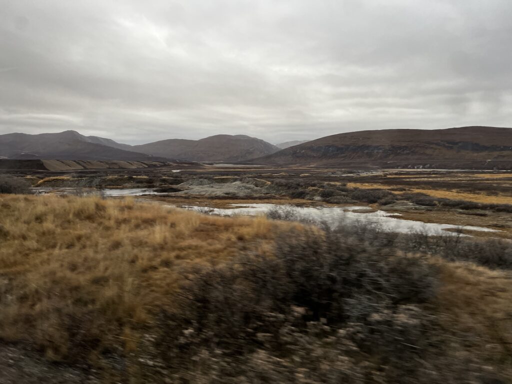
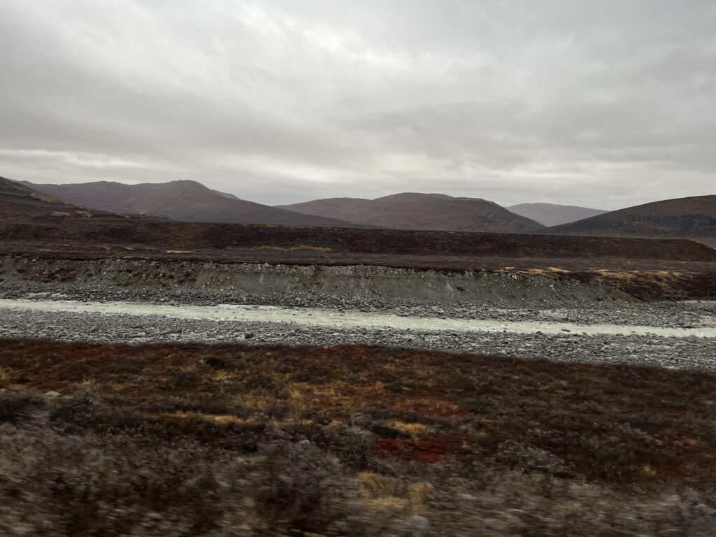
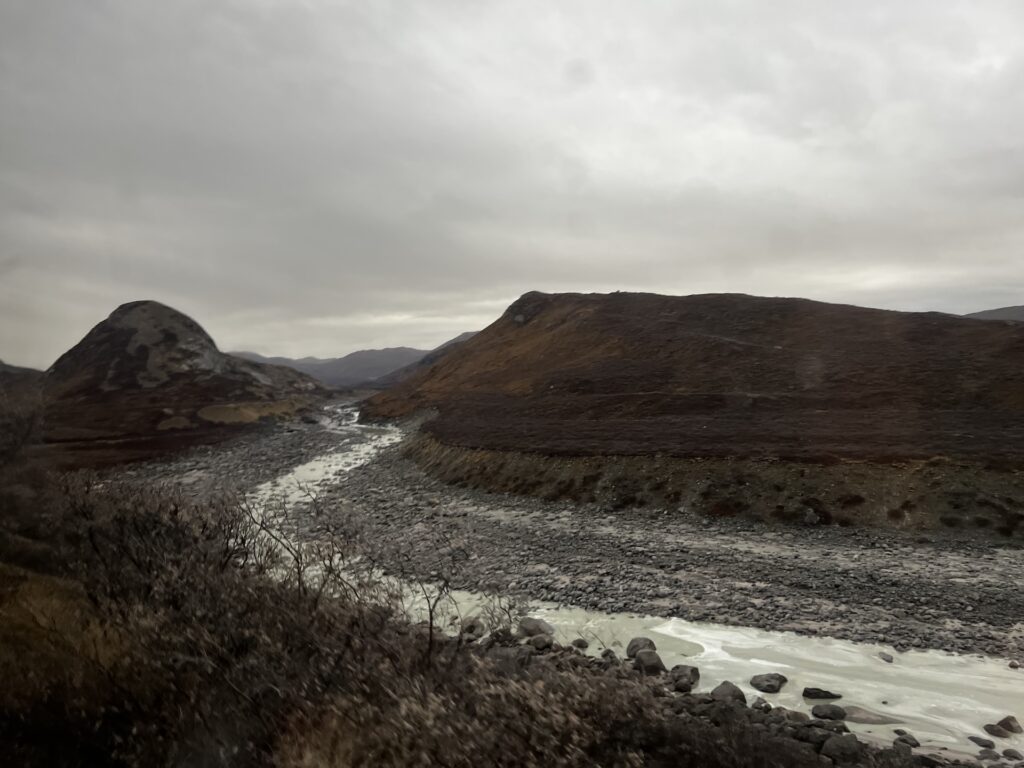
The road was… well… rough. It took 1.5 hours to travel the 37 km (23 miles) from Kangerlussuaq to the ice cap. We stopped twice for photo ops, so let’s say just over an hour in the bus.
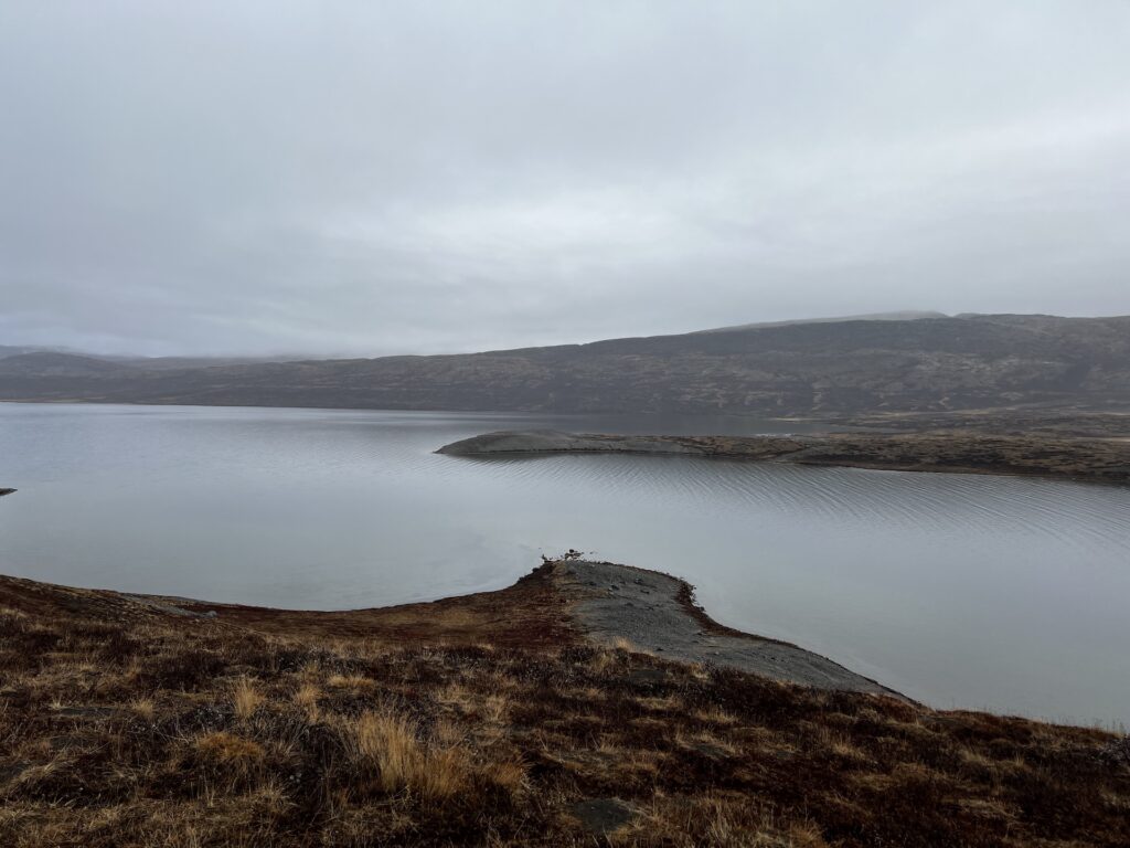
Here are some pictures of the terrain of the area:
Setting out, the driver gave us the story on the forest. Decades ago, a man from Norway wanted to see what kind of pine tress would grow in Greenland. He planted 20,000 trees and about 250 trees survived. They are very small, sparse trees but they are the only trees around. The tree’s growth is interesting – the growth rate in the last 20 years has evidentally surpassed the growth from the first 45 years after the trees were planted. And there’s one special tree, one of the biggest, that is perpetually decorated for Christmas.
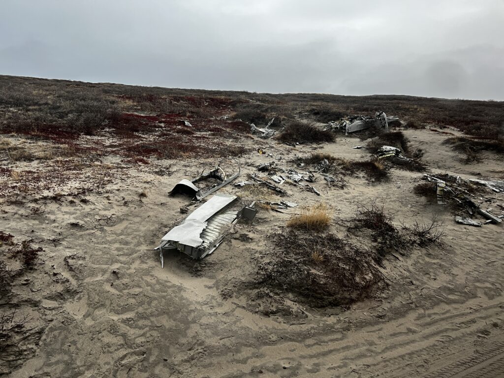
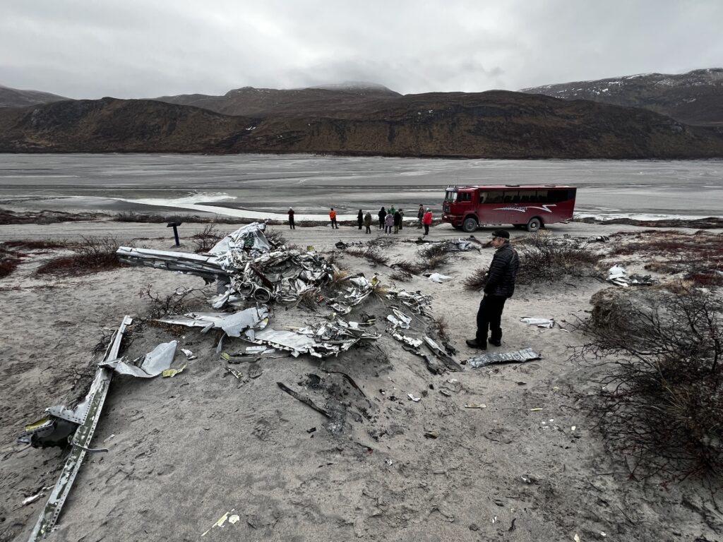
Keeping in mind that Kangerlussuaq was founded by the USAF, the first stop was quite interesting. It was the remnants of a plane wreck from 1968. A Lockheed T-33A crashed due to bad weather, and the wreckage is on the side of the road. “Remnants” is an understatement considering that it’s been over 55 years and so much of the plane is still identifiable. The good news is that, despite horrible weather conditions, the pilot safely ejected and survived the conditions. There were two other planes that crashed as well, and had the same outcome – safely ejected and survived the harsh conditions. While it isn’t surprising to see something American in Kangerlussuaq it was surprising to see a nearly 60-year old wrecked USAF aircraft.
Equally surprising was finding that 2 of the 3 folks who went out with us were from St. Genevieve Missouri. Opposite side of the state, but what a small world! They were in Greenland big game hunting, and had each bagged a musk ox and a caribou.
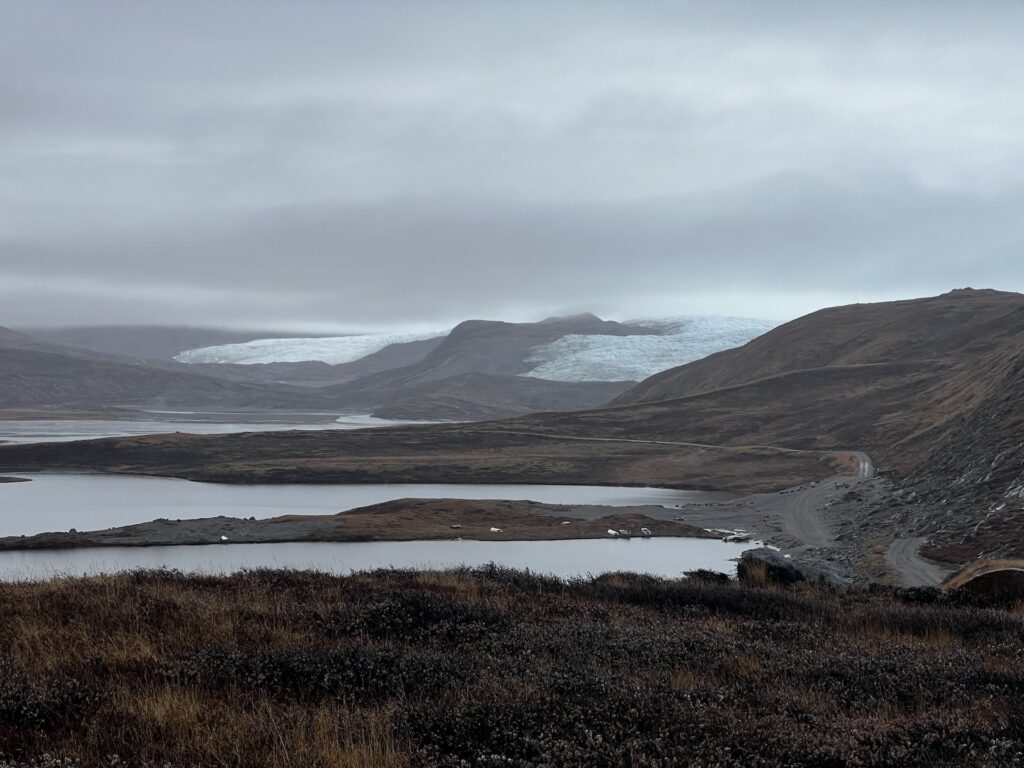
We continued down the bumpy road, stopping at a lake that is a UNESCO site. It is one of two of the purest lakes in the world. No fish/animals live in the lake, and the lake stretches about 11 km. It was a tad rainy, but it was a nice photo stop.
We drove straight to the ice sheet after this, passing two beautiful glaciers. The conditions were worsening so we didn’t get the full “ooohs and ahhhs”, but they were beautiful nonetheless!
And now to the Greenland Ice Sheet (Arctic Cap). Before arriving, the guide explained that sometimes conditions were questionable, sometimes it was too slushy to walk on the ice cap, sometimes too slippery, etc. And it wasn’t a straight walk to the ice sheet. It was up and down steep hills and inclines, slippery due to snow/slush and slippery as the path was covered with smooth rocks and fine pebbles.
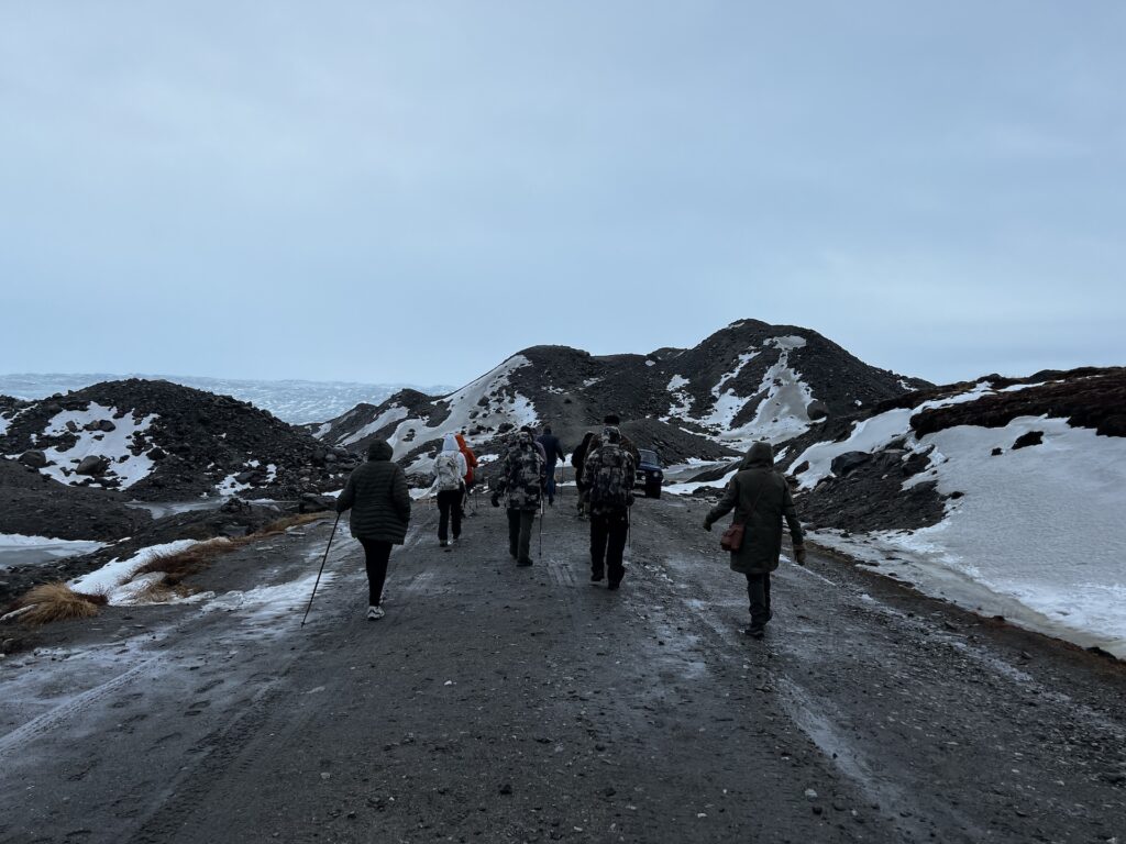
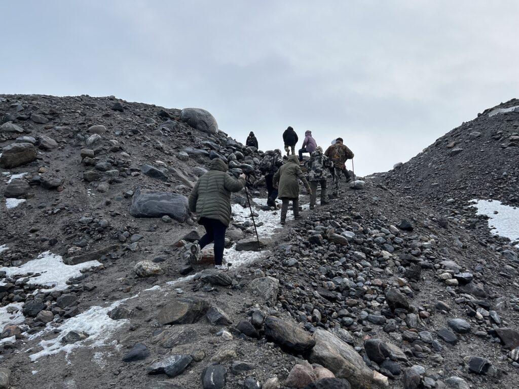
The guides were giving directions and showing folks where to walk, on what to do and what not to do, etc. One of the directions were “you need to step here and do so quickly, don’t stop”. One pour woman was very nervous and did stop, which then caused her to punch through a melted area and drop thigh deep (one leg) into the ice. The guides and one other hiker moved to help her, and the additoinal hiker also plunged knee deep into slushy water, but they got her out and moved on. .
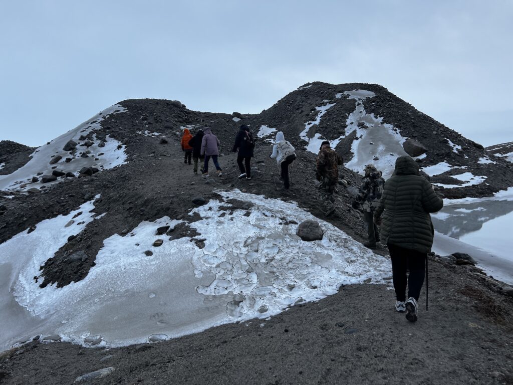
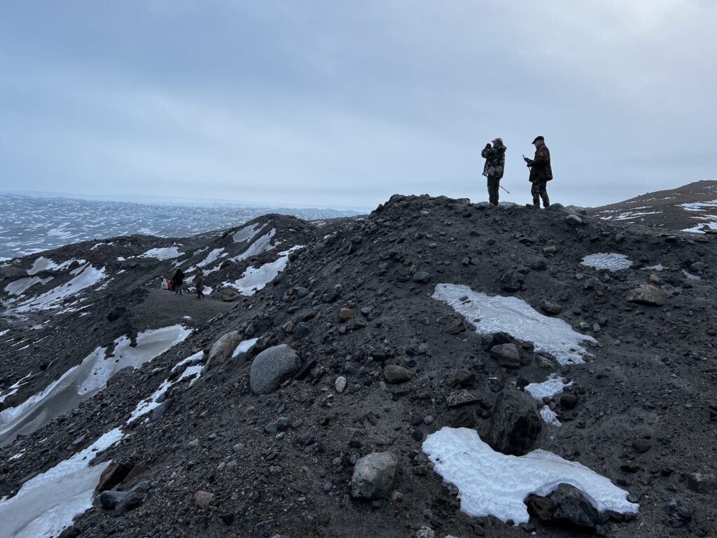
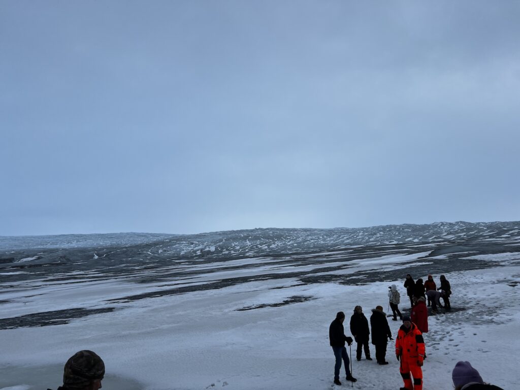
Here are some pics of the Ice Cap:
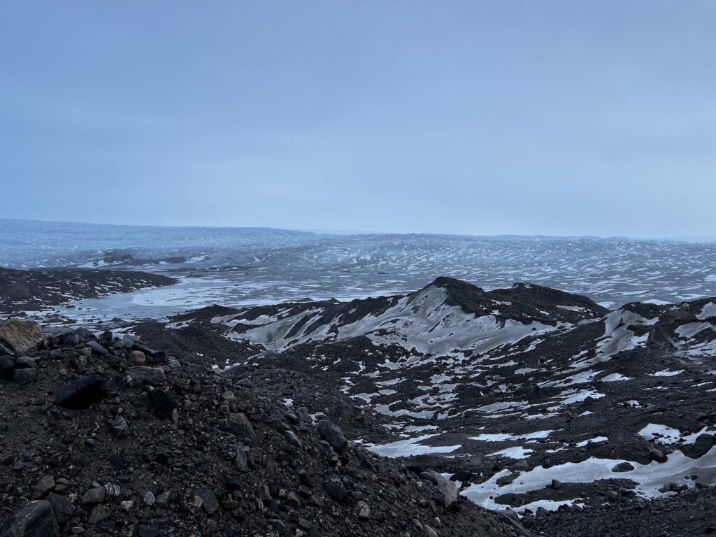
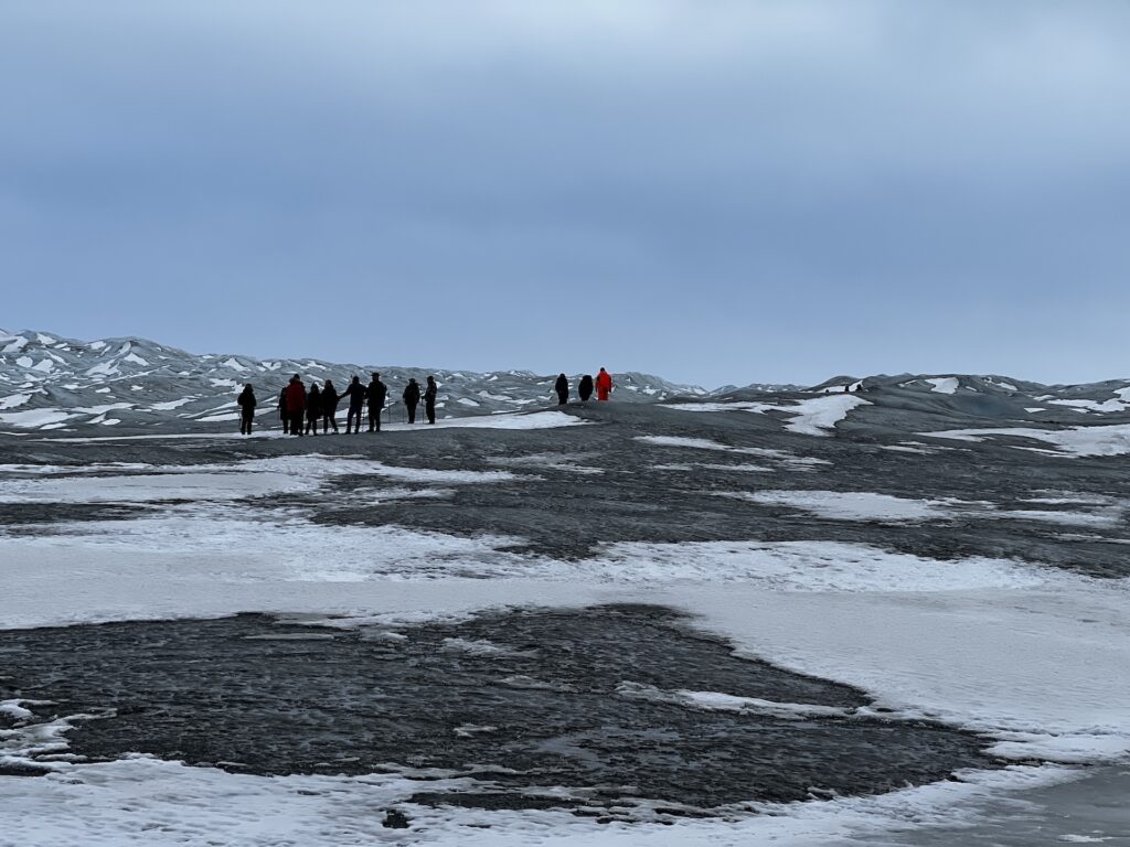
Why is this called an ice sheet? Is is the white stuff you see? Nope! It’s all the darker spots. The slush/snow is sitting on top of the hard ice. Think hard like steel, not like the ice that forms on your car in the winter.
Quick walk out on the ice over, the group headed back to the bus for lunch. Up and down the slick, slushy, somewhat muddy trail. But we made it!!
The ride back was equally rough. Well no, it was really rough. We caught up to a couple of semi trucks carrying construction equipment and they pulled over to let us by. On the one track road. In a massive bus that seemed as wide as a box car. We don’t know if it was more nerve racking to be on the “truck” side seeing how close we were, or on the “ditch” side where you couldn’t see the road….just the ditch.
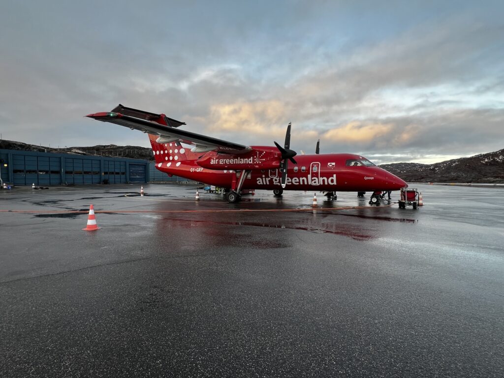
Back in town, we were dropped off at the airport to catch our quick 40 minute flight to our next stop – Ilulissat, north of Kangerlussuaq. When you’re at a small airport in Greenland, here’s the boarding process. An announcement is made – “the flight to Ilulissat is boarding at gate 1” – and everyone boards at once. No security, no “zone one zone two”…. Just get on the plane!
For in-country flights, they use small turbo prop planes. Here was ours:
And of course when flying over this type of terrain, the safety instructions are just a little bit different…
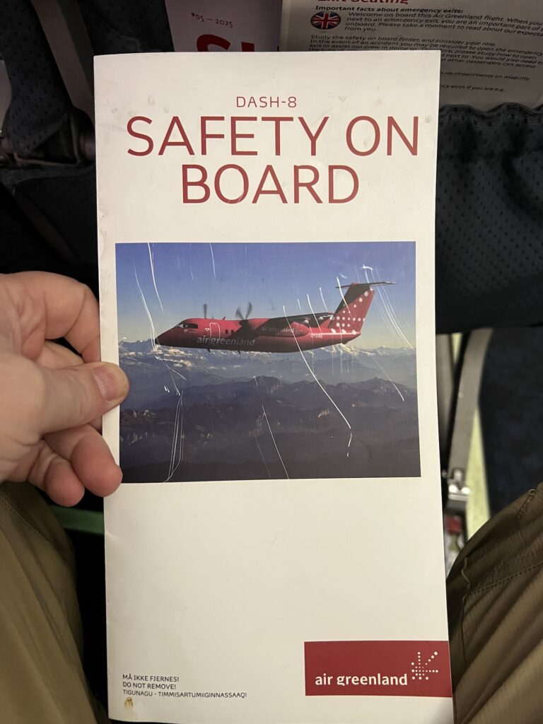
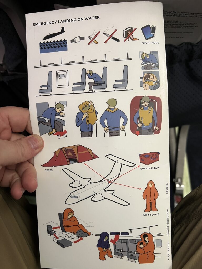
In that they show you were to find your plane’s survival box, and how to use your polar suit to survive. Ummm yea…
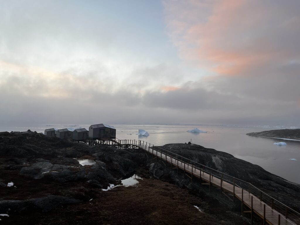
The hotel in Ilulissat is amazing! Here’s the view from our room’s window. We can live with this for 4 nights!
Dinner was in the hotel, and after dinner our guide mentioned that he wrote a book about Greenland and offered us a lecture on the history of Greenland. We made it through maybe half the lecture due to the late hour, so he’ll pick up the tail end at a later time.
Leave a reply